NEW ZEALAND TRAVEL BLOG
Plan your trip to New Zealand, with help from a local
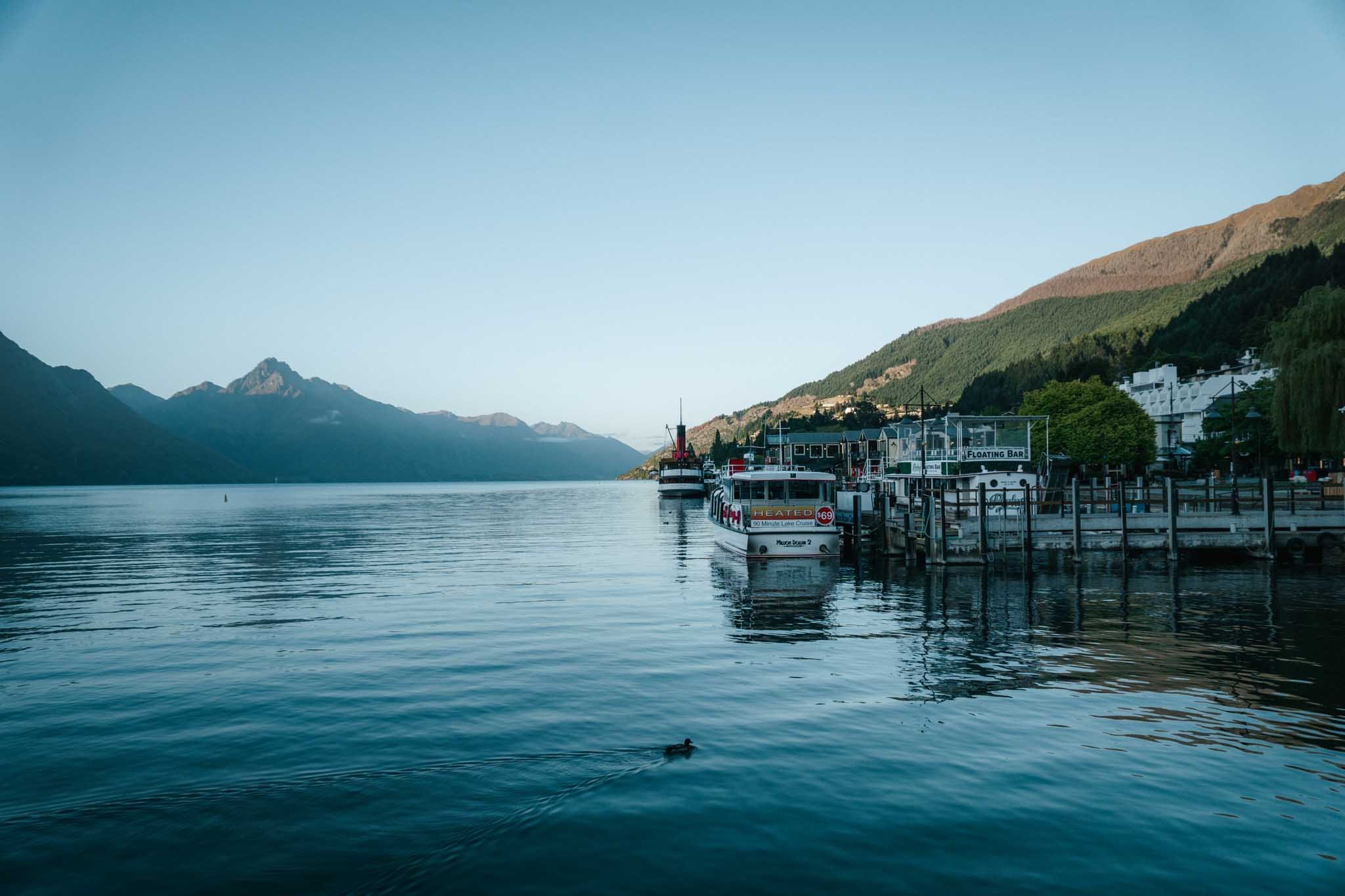
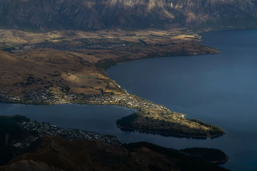
What to do in Queenstown: A guide for lovers of the outdoors

Where to stay in Auckland (the best hotels and areas)
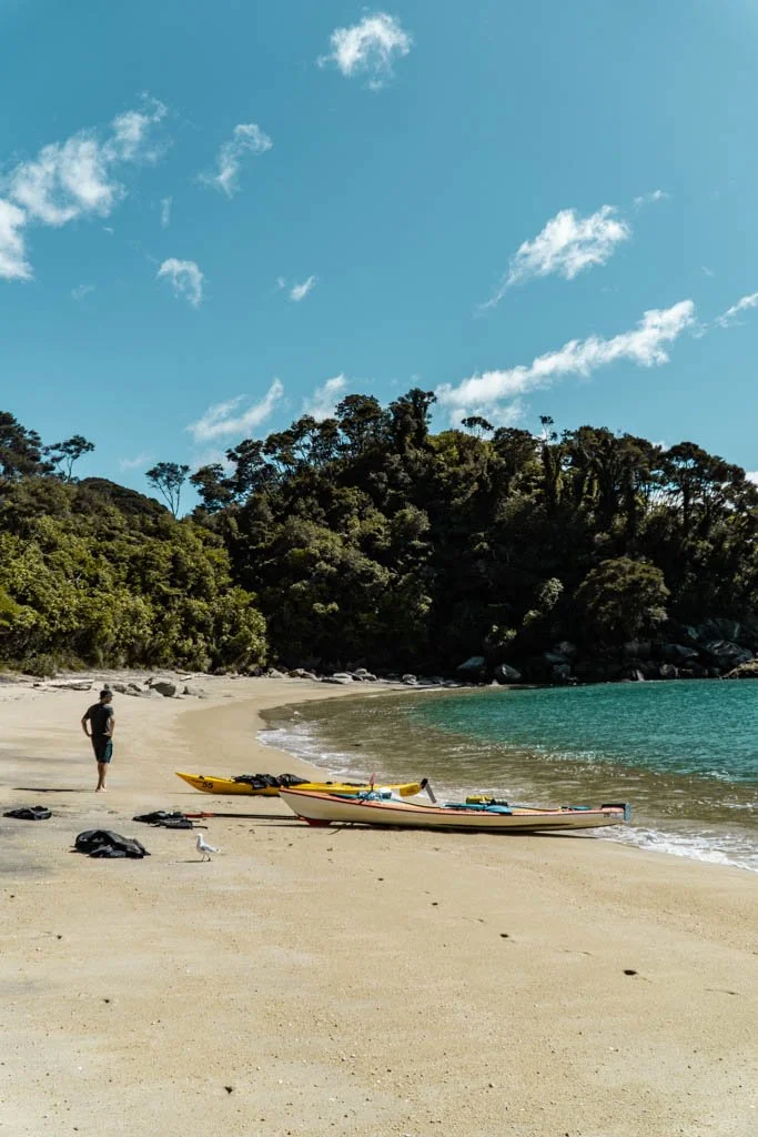
Discovering Abel Tasman National Park: What to do in New Zealand’s coastal paradise

What to do around Lake Tekapo, the South Island's vivid blue lake
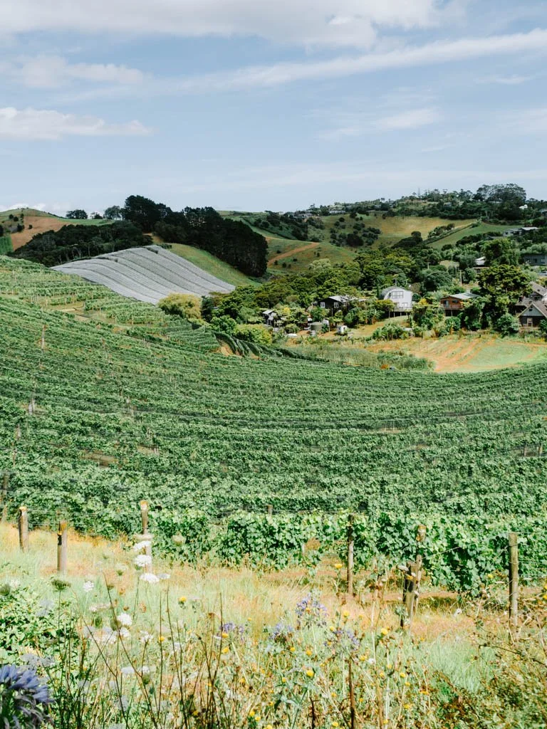
A completely unscientific list of the best Waiheke wineries to visit (by a non-expert wine drinker)

The best Queenstown wineries for tastings, lunch & views
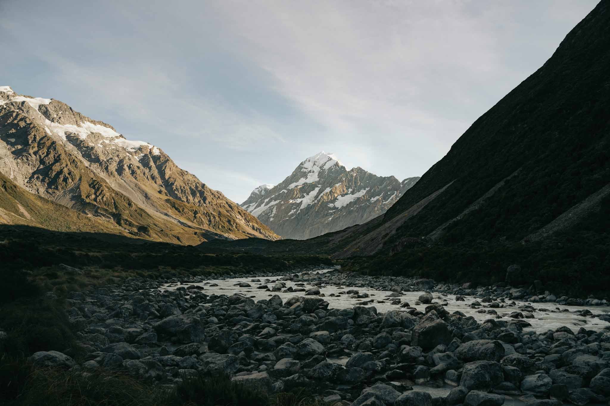
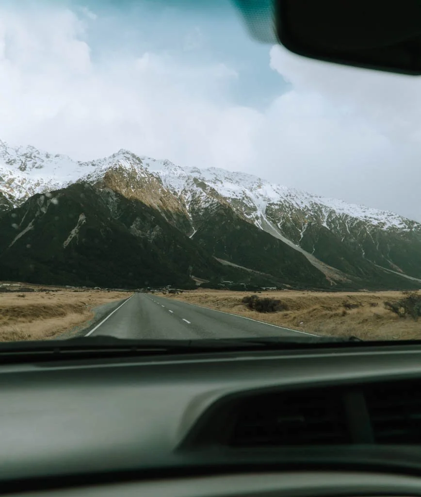
What to do in Aoraki/Mount Cook National Park, home to glaciers, grandeur & high mountain peaks

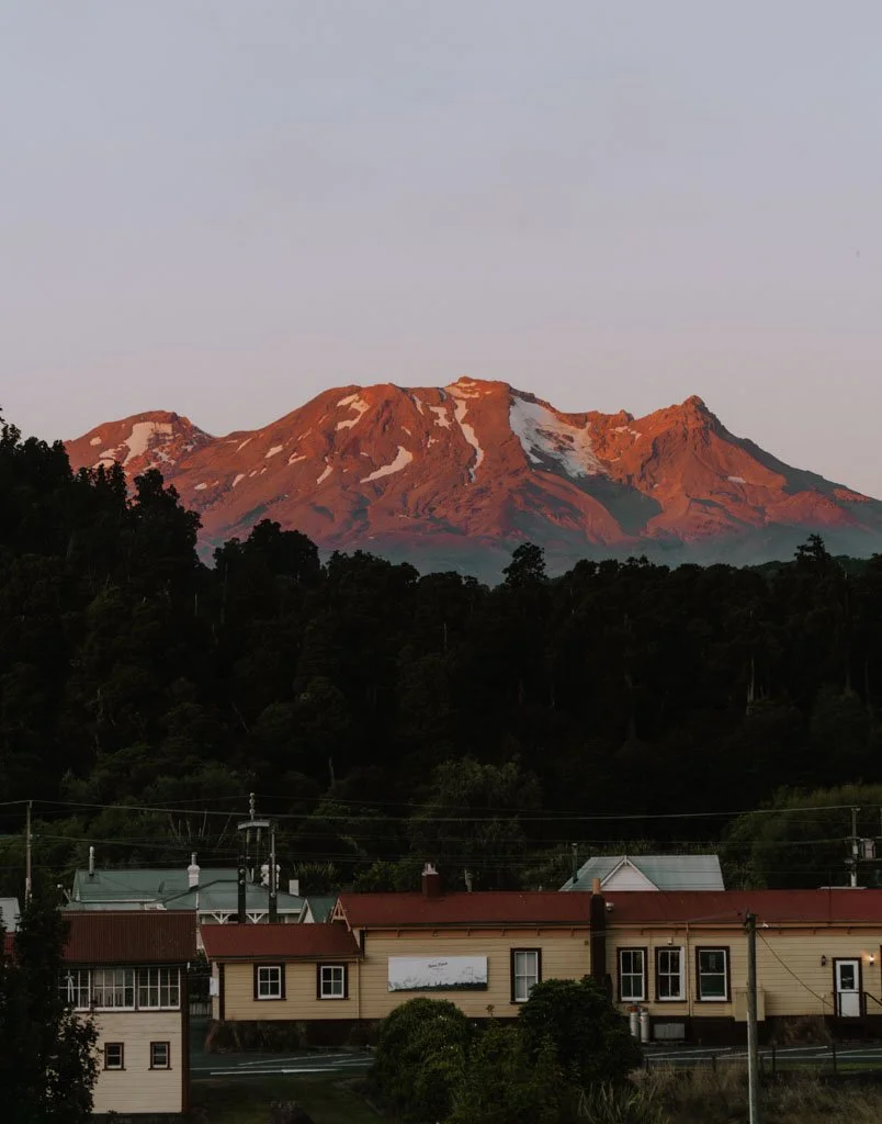
A 3 week New Zealand road trip itinerary from Auckland to Christchurch
Where to stay in Queenstown (the best areas and hotels)
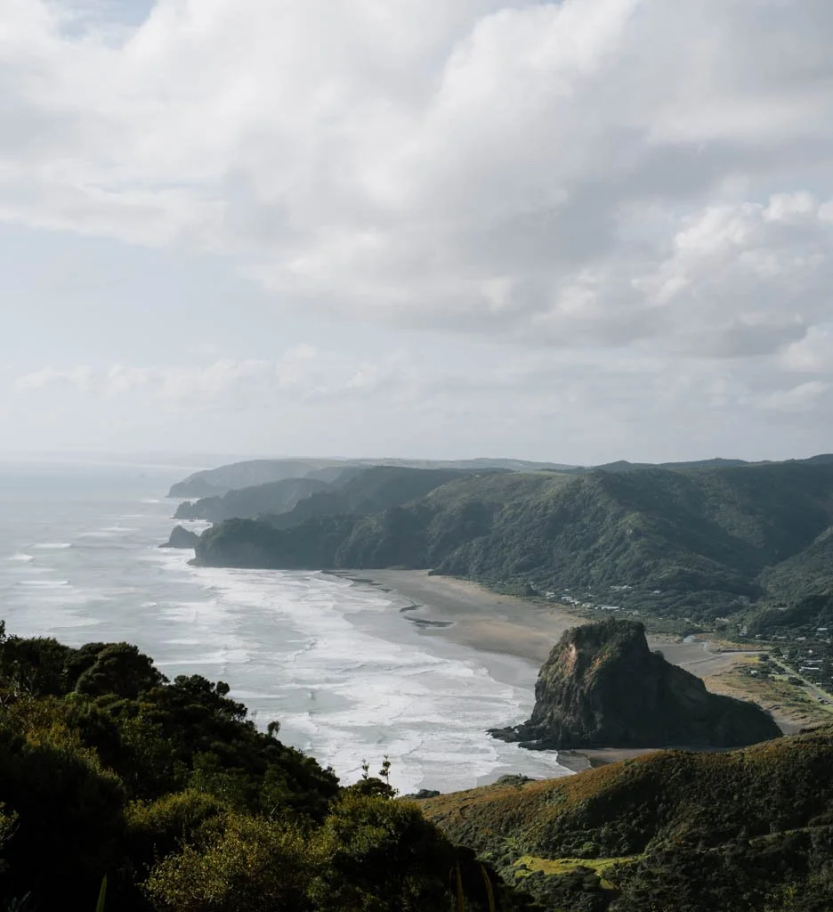
Go adventuring on one of the best day trips from Auckland (with or without a car)
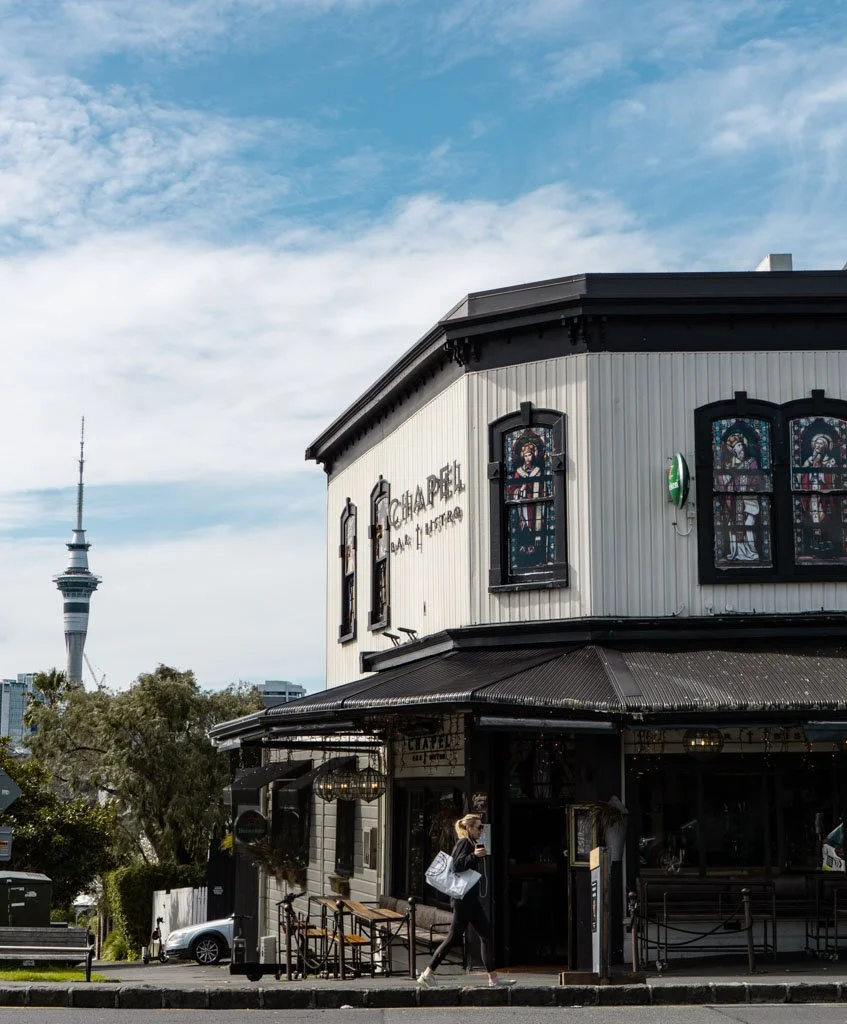
How to visit Auckland like a local: My favourite things to do in the city
A two week South Island road trip itinerary
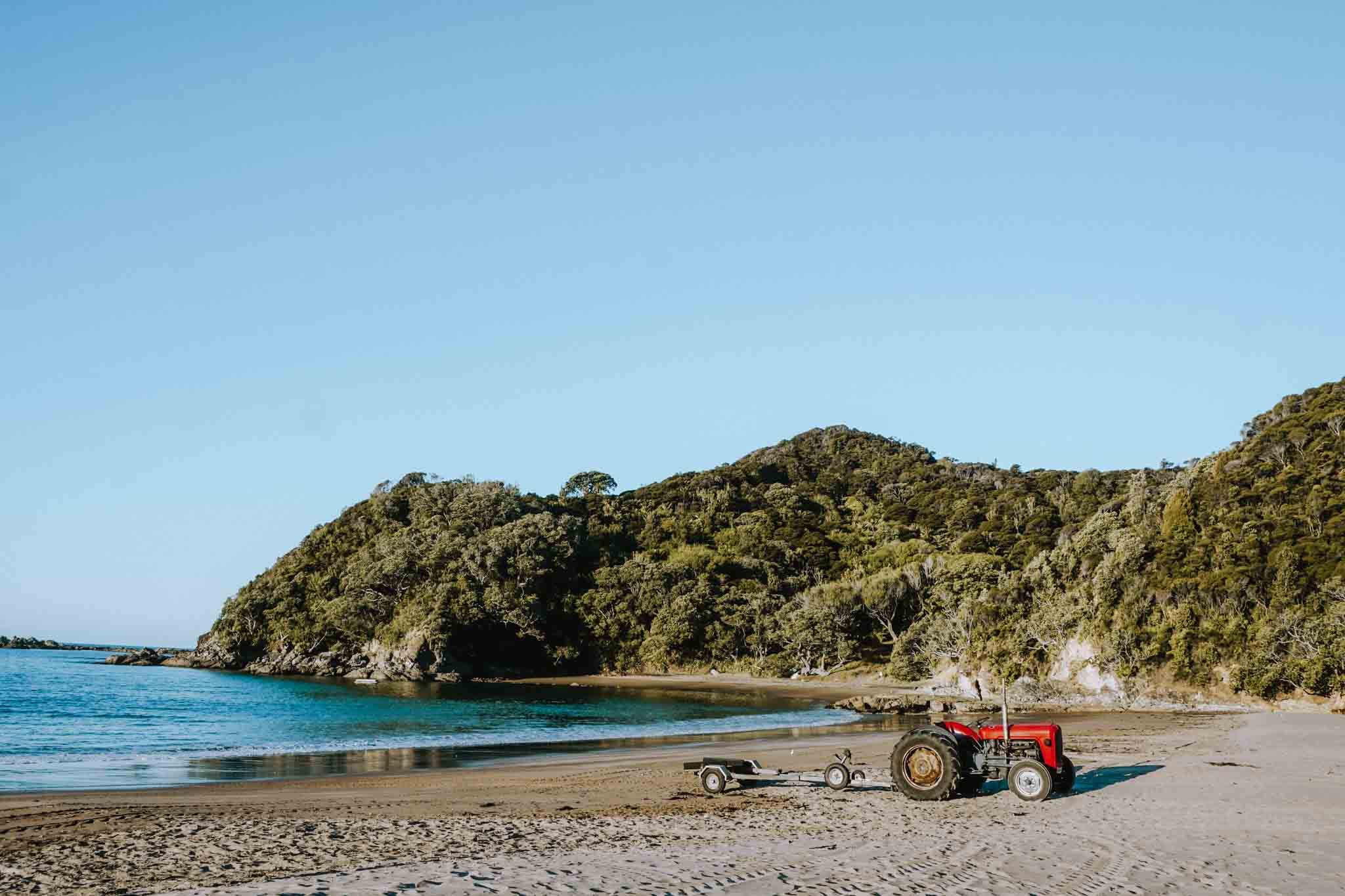
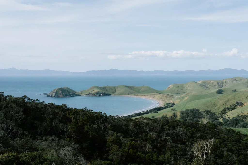
Road trip the Coromandel Peninsula: A local’s guide to the best places to go and things to do
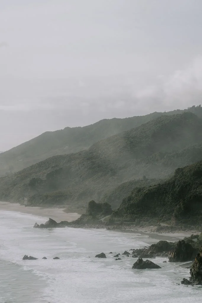
Where to stop on a road trip from Christchurch to Queenstown
Discover all the best places to stop on a road trip from Christchurch to Queenstown.
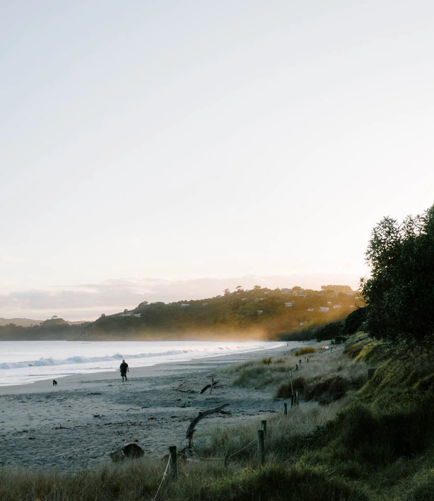
What to do on Waiheke Island: A guide for wine, beach & nature lovers
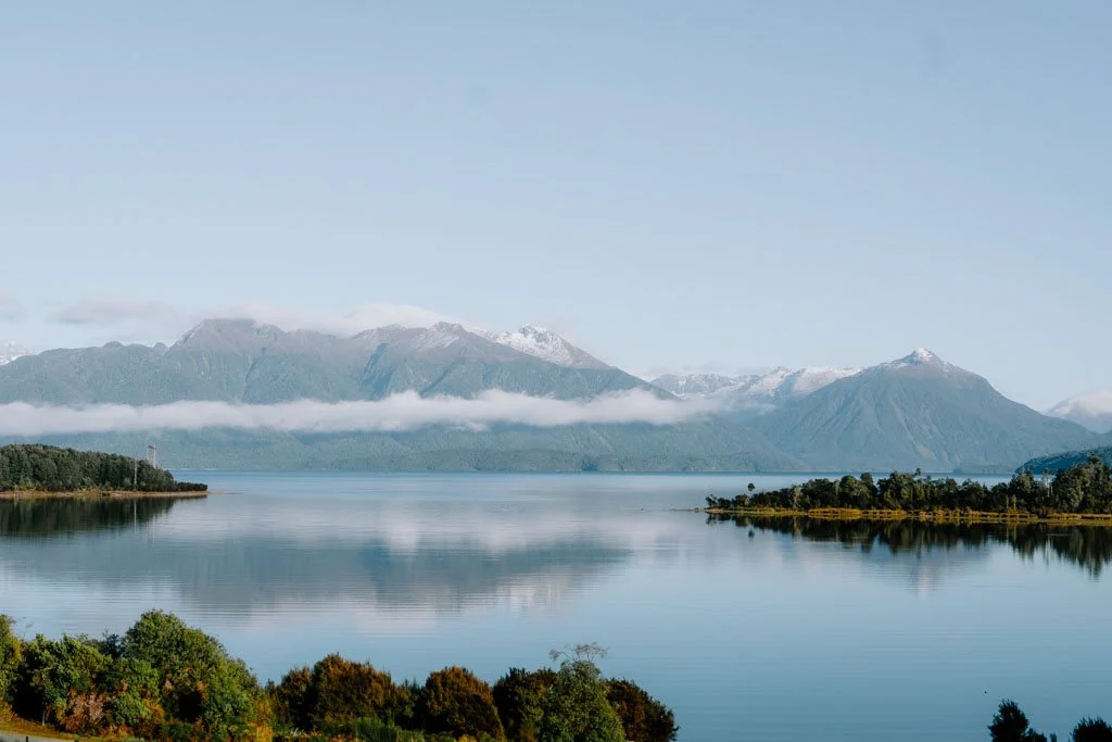
What to do in Te Anau, gateway to the wilds of Fiordland
Driving from Auckland to Wellington: A road trip itinerary
The most beautiful places to visit in New Zealand, according to a local

New Zealand’s 11 Great Walks, ranked